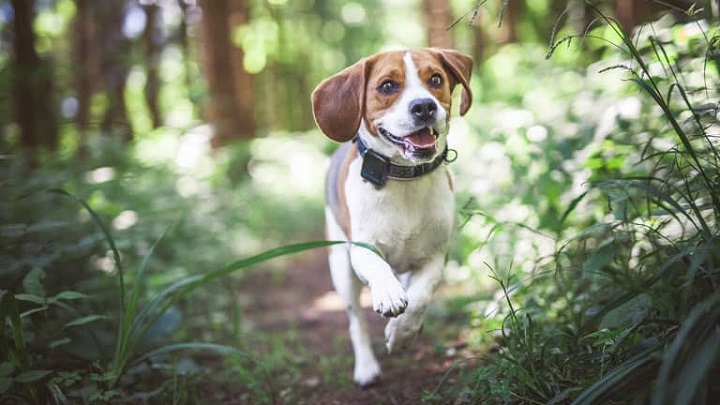
Going camping or hiking with your dog can be one of the most satisfying experiences in life. However, in Australia, thousands of dogs get lost, never to be reunited with their owners. In order to prevent that, your best bet is getting a tracking collar and a GPS navigation for yours and your dog’s safety. Once a revolutionary technology, today GPS can be found in all kinds of products – from drones to dog collars. It has become an invaluable addition to any hiker and camper’s toolkit, alongside camping torches, as it provides crucial information about where you’ve been, where you are, and where you need to go.
How to Pick the Right GPS?
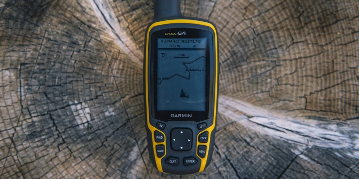
When looking at all the different GPS navigation devices, there are a couple of important factors to consider, the most important three being interface preference, the size of the unit versus the size of the screen, and some advanced features. Some people prefer having a GPS navigation system that features a touch screen, whereas others who participate in winter activities, for the most part, should consider a GPS unit that’s controlled by buttons so that they can use it easily even while wearing gloves. As far as size goes, as the screen’s size increases, so does the weight and size of the unit.
When it comes to choosing advanced features, you need to think about which ones you need most for your personal needs. The amount and choice of features will be reflected in the price of the personal handheld GPS system. Here are some of the features you’ll find in GPS systems.
- Altimeter/Barometer – While almost every GPS receiver will tell you the altitude based on satellite data, a GPS with an altimeter/barometer feature will give you more precise elevation readings by considering barometric data on top of satellite data, allowing you to gauge the weather trends as well.
- Electronic Compass – Every GPS receiver will tell you which direction you’re going when you’re moving. A GPS with an electronic compass, however, will also tell you which direction you’re facing when you’re standing, allowing you to orient yourself and plan your route while resting.
- Wireless Data Transfer – This enables your unit to communicate with other (compatible, same-brand) units. It gives you an easy and quick way to share data like waypoints, routes and tracks with other people.
- Two-Way Radio – This feature allows you to communicate with nearby party members in the backcountry and locate where they are. Further, it allows you to receive NOAA weather-radio forecasts. This feature is extremely useful for search-and-rescue teams.
- Memory and Waypoint Totals – The more memory you have, the more navigation and map data you can store. Most units accept microSD cards for extra capacity.
How to Use a GPS Navigation System?
Even the most basic GPS units provide a range of settings and features, which is why every unit’s operation greatly varies. While this isn’t a step-by-step guide on how to use a GPS, you’ll at least get a good idea of the basic functions. For a detailed guide, read the owner’s manual, then practice in the neighbourhood, park, or on the way to work to get comfortable before you take it out in the backcountry.
- The GPS will have a display position which shows the coordinates and your position on a base or topographic map
- The GPS will have a tracking feature that automatically lays down track points at regular intervals that you can later use to evaluate the path or retrace your steps
- The GPS will have point-to-point navigation that shows you the distance and direction to a specific location. You can pre-mark waypoints by putting in coordinates beforehand
- The GPS will display your trip’s data, something like an odometer, and it will provide you with cumulative stats, such as how high you’ve climbed or how far you’ve come
How to Setup GPS Navigation System?
First and foremost, you’ll need to set up the before-trip settings, namely the coordinates and map datum. Most GPS systems can display coordinates in several systems, and you can change this to whichever system suits you best. When you mark the waypoints, you should make sure you use the same coordinate system as your map, book or other information sources. The map datum is something that’s both important and obscure. You want the datum set on the GPS unit to match the topographic map’s datum or the datum of the trail guide or other information sources. If it doesn’t match the datum, the position coordinates of your unit will put a waypoint in the wrong place on the map.
Next, you’ll have to lock your handheld GPS onto a satellite. In case you didn’t know, GPS stands for global positioning system, which is a network of satellites broadcasting the signals that GPS units receive. Due to the fact that there are many other satellite networks, such as the Russian GLONASS, your handheld GPS can receive a signal from them as well. You can lock onto a satellite by simply going outside, turning the GPS on and waiting for the search to finish. Initially, it can take the GPS a couple of minutes to get locked, but then it will readily locate satellites as you move.
If you turn off the unit, the satellites will obviously continue moving. If you want to turn it back on, it will take a couple of minutes to get locked to the satellite again. The signal may get blocked if you’re in a slot canyon or under a dense tree cover. Further, you shouldn’t place your GPS at the bottom of your backpack or deep inside a pocket.
Keep in mind that GPS units display signal strength in a few different ways, such as detailed satellite pages, feet of accuracy spec or a series of bars. If your GPS can customise fields on the compass, map pages and trip computer, you should also include a signal strength field in order to help you decide how much you can trust your unit when exact navigation is necessary.
Lastly, you’ll want to develop a few steps you can follow every time you’re at a trailhead. The routine can vary depending on the features of the unit, but it should include some, if not most of the following:
- Acquiring satellites
- Resetting trip data
- Clearing track logs
- Setting waypoints at the trailhead
- Calibrating barometer/altimeter and compass